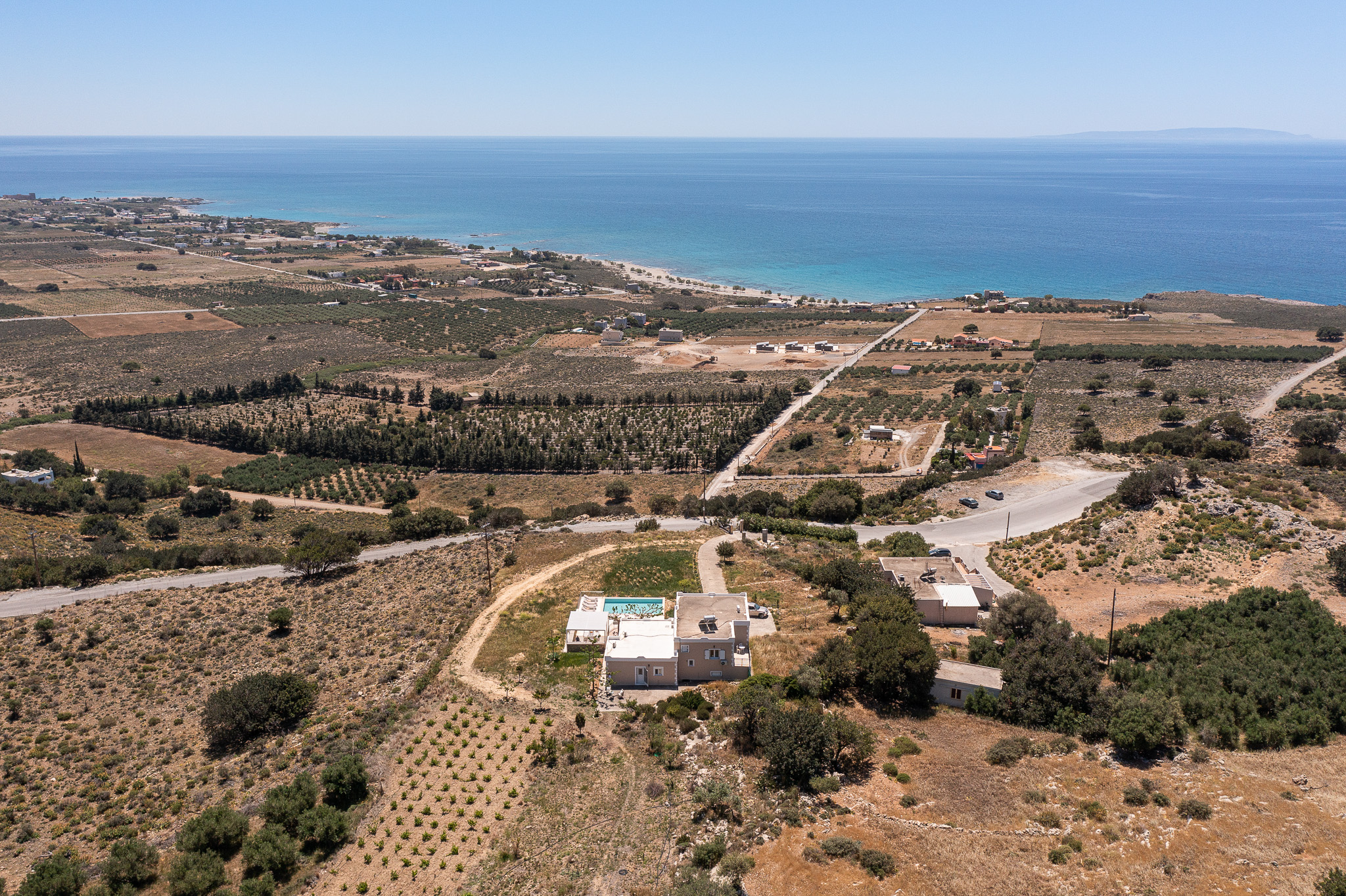
The house stands at the foot of the mountains, above olive groves and fields that run down to the sea and the fortress.
Quiet all around
Just one neighbour, down by the road. Beyond it, nothing but olive groves and open fields rolling out to the sea.
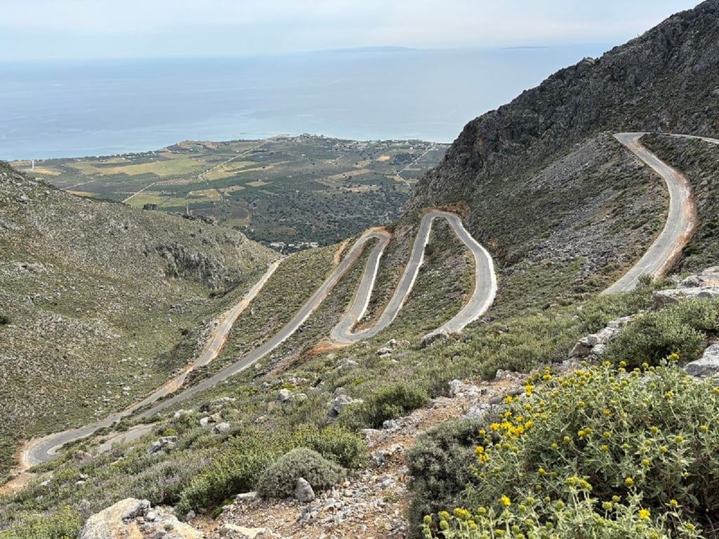
The road past the house, and the short drive up to it
Arriving
The drive
Turn off the road and a straight drive brings you up to the house, the mountains filling the windscreen as you arrive.
Getting here
Frangokastello is in Sfakia, in south-west Crete, about 15 minutes by car from Chora Sfakion, the main village of the area.
Fly into Chania or Heraklion. From Chania airport the drive to Sfakia, where the mountain road comes down to the sea, is about 80 km and around 90 minutes; the last 40 km are a partly renovated country road through the mountains. From Heraklion airport the same drive is about 145 km, around 2½ hours. For the exact address and directions, ask The Crete Escape when you enquire.
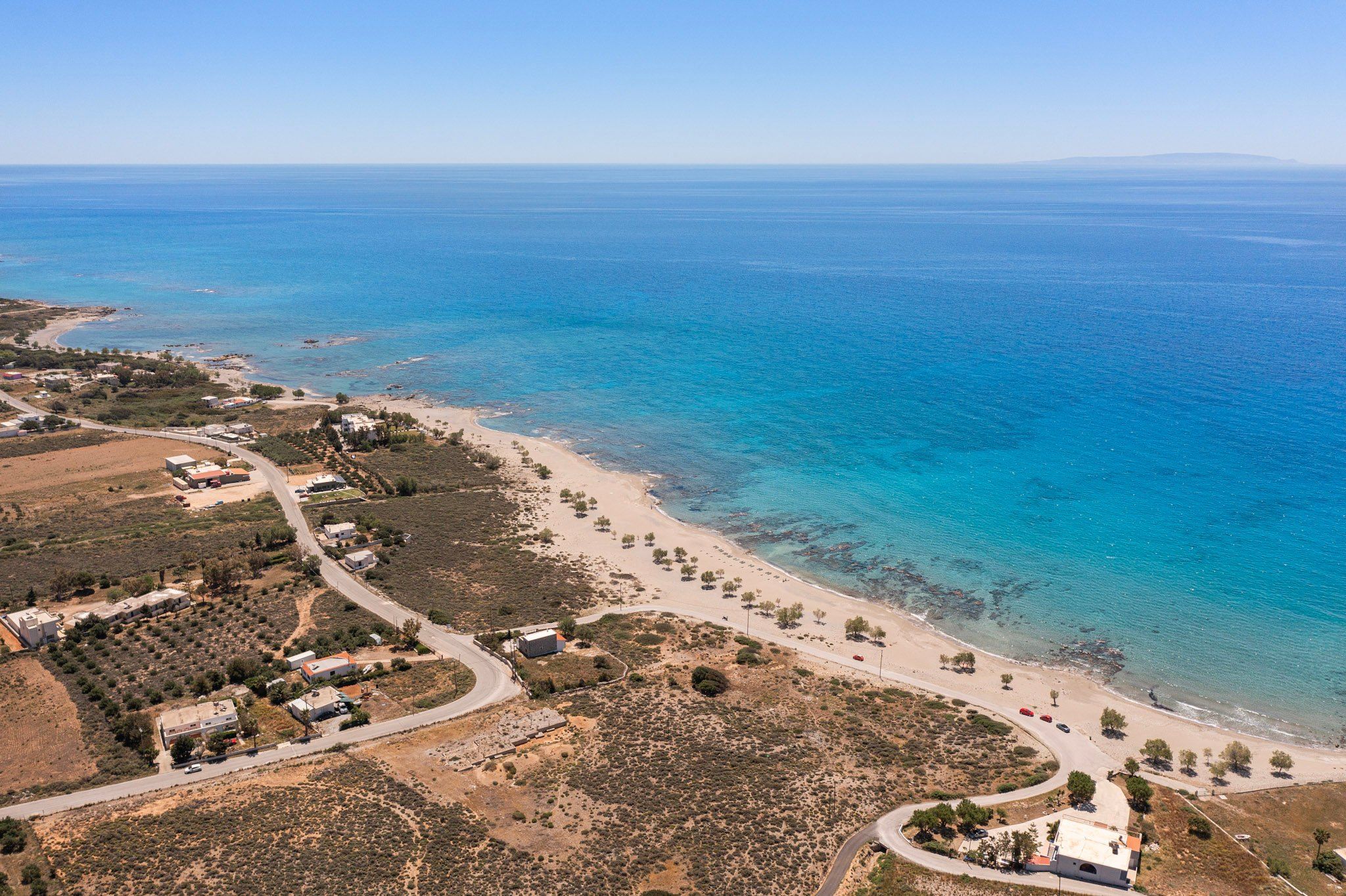
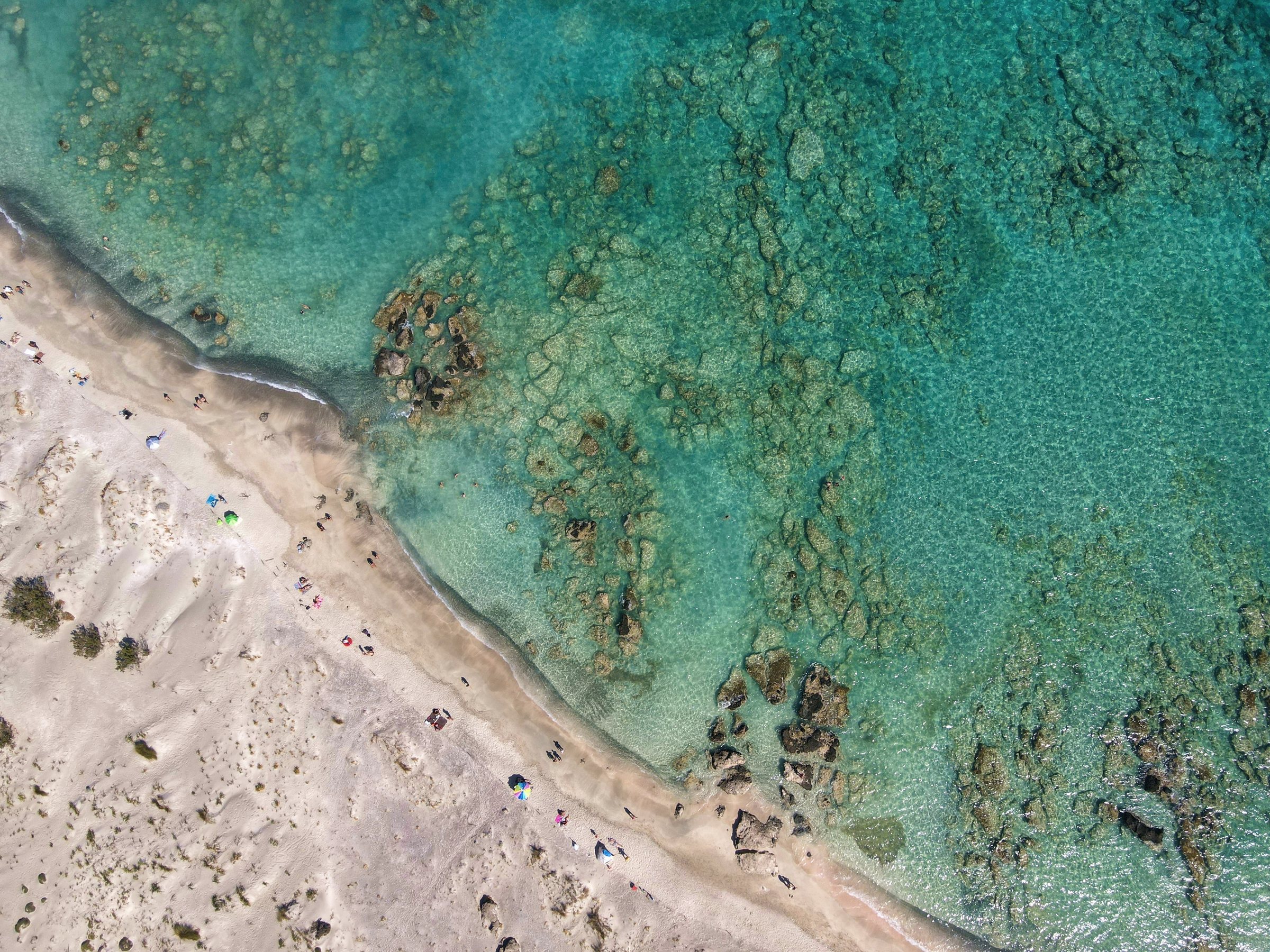
The coastline near Frangokastello, from the air
By the sea
Beaches a few minutes by car
Below the olive groves, a long sand beach runs beside the road, with trees along the sand and rocks under the shallow water offshore. The nearest beach is Vatalos, a few minutes by car, with a taverna; Frangokastello, Orthi Ammos and Koutelo are close by. On clear days Gavdos shows on the horizon.
Around Sfakia
Gorges, harbours and a castle on the sand
On this stretch of coast the big gorges end on the beach, and some villages are still reached only by boat or on foot. These are the places worth the drive from the house.
History · on the beach
Frangokastello
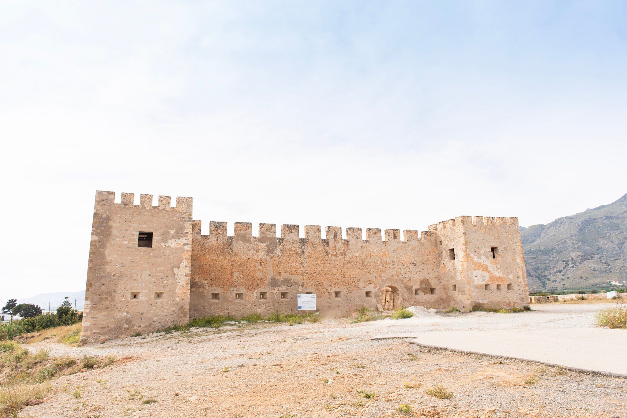
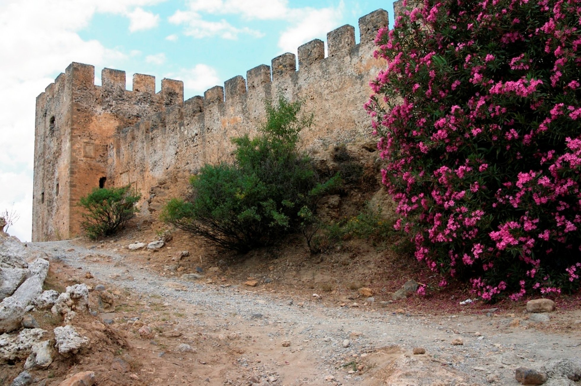
A square Venetian fortress standing alone on the sand, built in the 1370s to keep watch over the rebellious Sfakians and the pirates offshore. In 1828 Cretan and Epirote fighters held it against an Ottoman army and died there. Locals say that on May mornings around the anniversary their shadows, the Drosoulites or "dew men", march across the plain at dawn.
Beach · sand dunes
Orthi Ammos
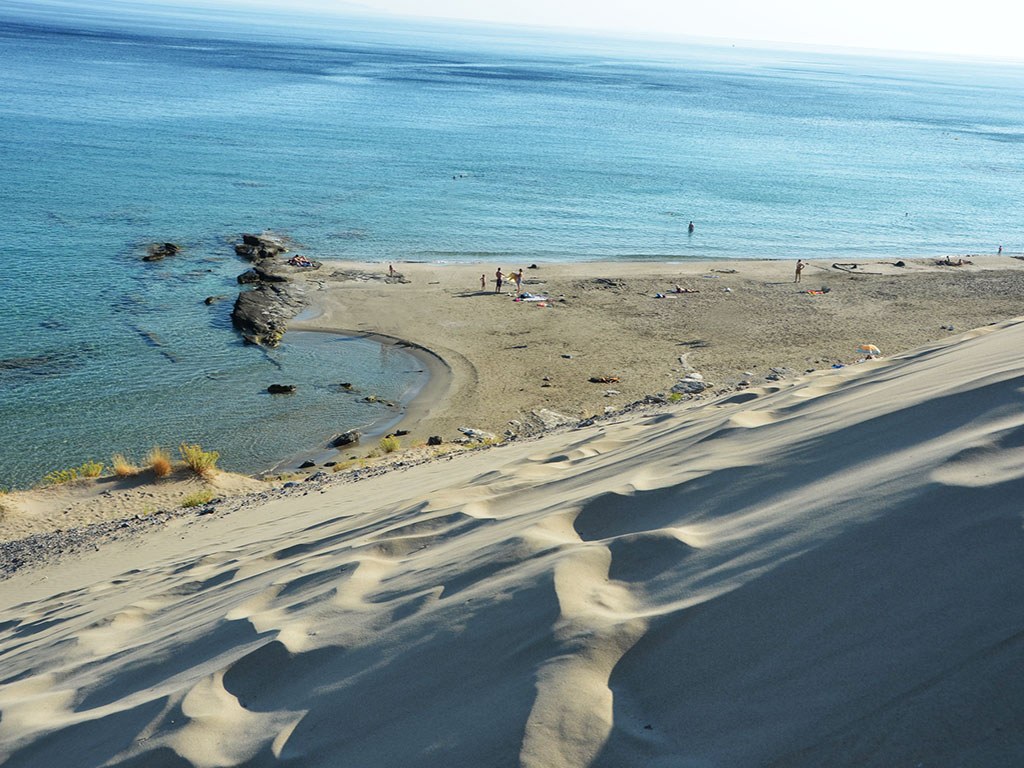
The name means "standing sand": a small beach about a kilometre east of the fortress, closed in by tall dunes the wind has piled against the hill. A short path crosses the dunes from the parking. The water is clear and cool, and the sand burns in July, so bring shoes.
Walk · easy
Imbros gorge
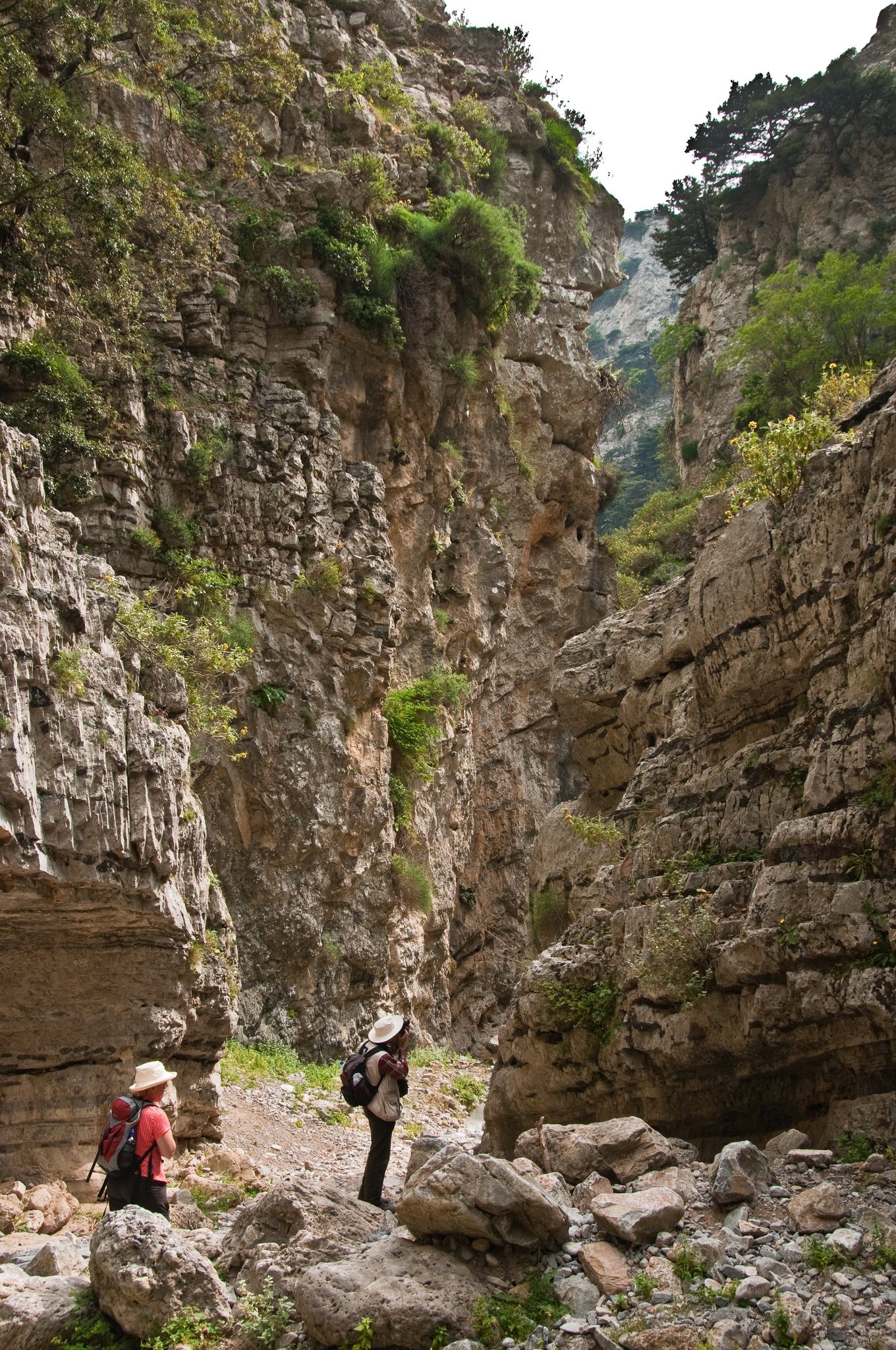
The gentlest of the big gorges: 11 km downhill from the village of Imbros, at 700 m, to Komitades near the coast, in two to three hours. At its narrowest the walls stand about 1.6 m apart and close to 300 m high. Easy enough for children; a taxi or the summer bus brings you back up.
Walk · easy to moderate
Kallikratis gorge
From the high plateau of Kallikratis down to the village of Patsianos, just above Frangokastello: 6.5 km and about three hours on the E4 trail, dropping some 500 m. Fewer people than Imbros, and the coast comes into view as you leave the gorge.
Village · harbour
Chora Sfakion
The main village of the area, about 15 minutes by car: a small harbour with tavernas along the water, a bakery and a supermarket. The boats along the coast leave from here. At the end of May 1941, after the Battle of Crete, Allied soldiers were taken off this shore by night with the help of the villagers.
Village · boat only
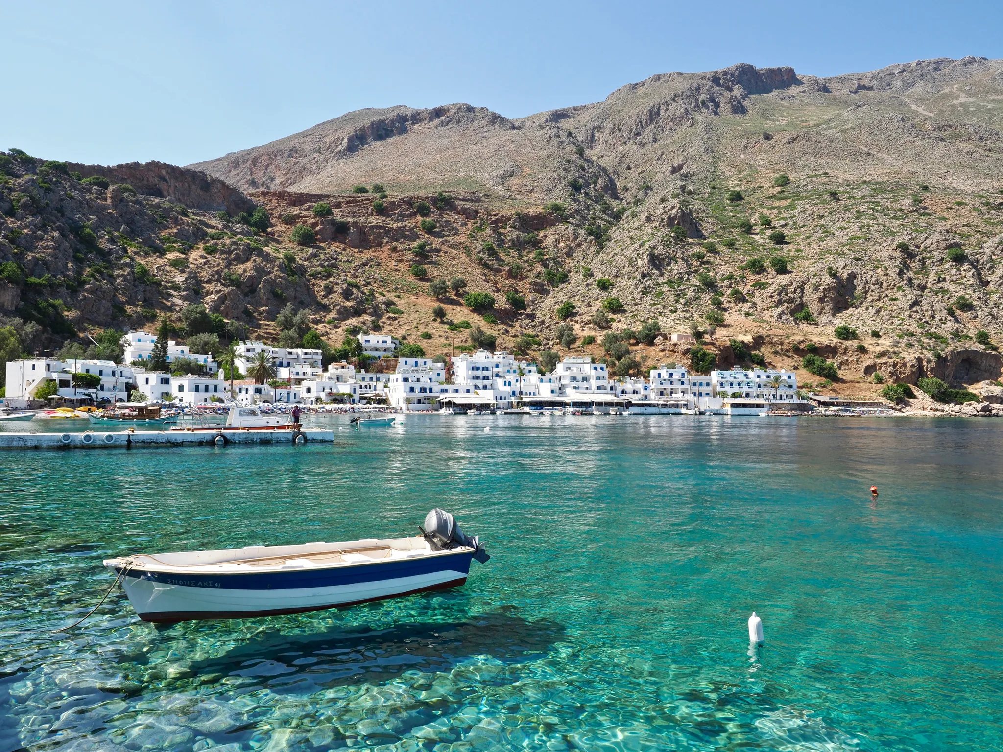
Loutro
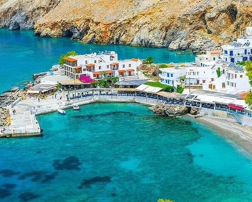
White houses around a bay with no road at all: you arrive by boat from Chora Sfakion, or on foot along the E4 coastal path. No cars, clear deep water off the rocks, and a short walk over the headland to the bay of Phoenix. Come for lunch and a swim off the rocks, and take the boat back in the afternoon.
Beach · boat or on foot
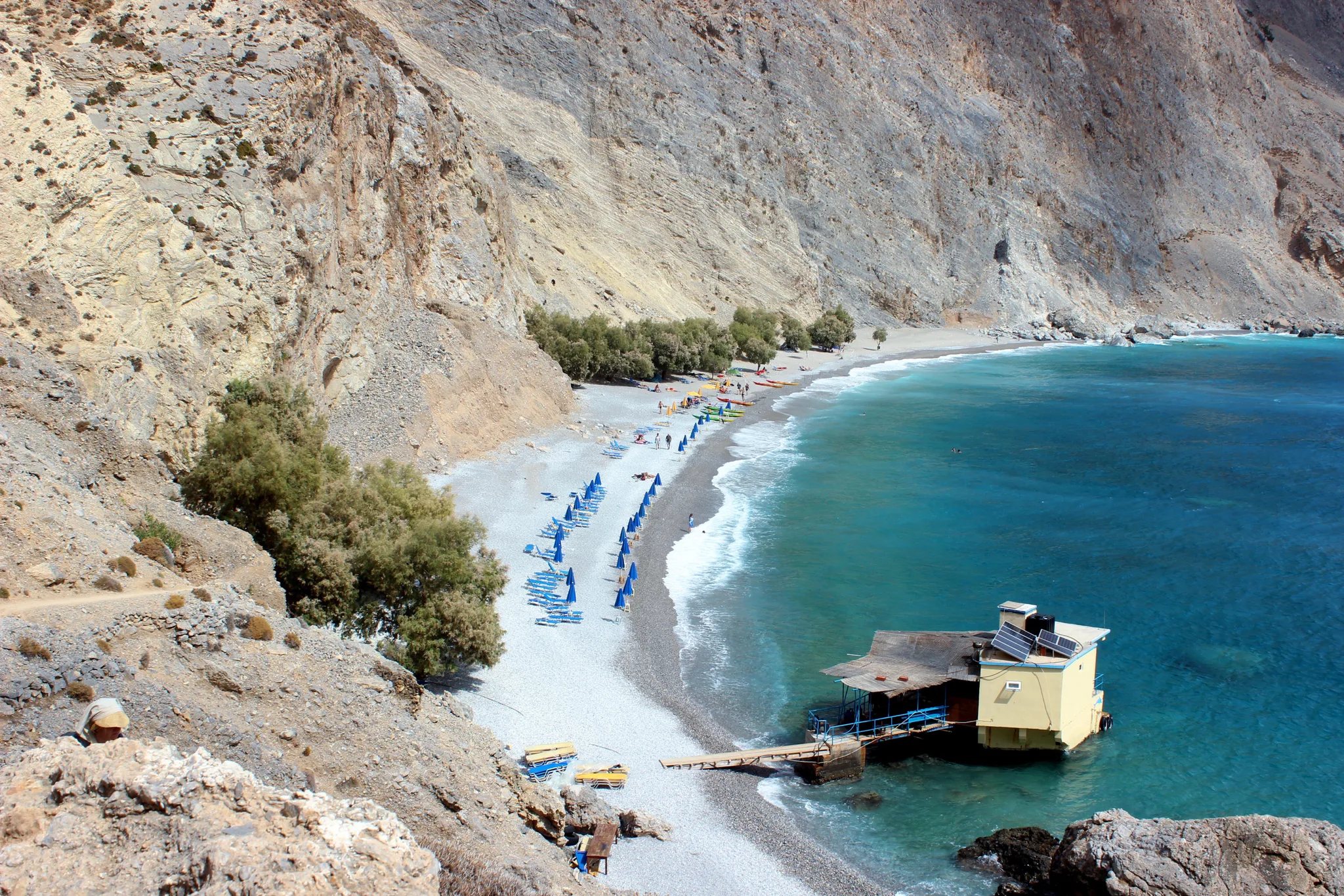
Glyka Nera
"Sweet water": fresh springs rise through the pebbles of this beach under the cliffs, so the sea stays cold even in August and you can drink from the spring. Tamarisks for shade and a small canteen on the rock. Reach it by boat, or in half an hour on the path west of Chora Sfakion.
Day trip · about 3 hours each way
Elafonisi
At the far south-west corner of the island, a full day out from the house: a shallow lagoon, no deeper than a metre, that you wade across to a low islet of dunes and juniper. The sand turns pink at the water's edge, coloured by crushed shells. The side facing the lagoon has umbrellas, showers and lifeguards; walk west over the islet for quieter coves and the chapel of Agia Irini by the lighthouse.
It is a Natura 2000 reserve where loggerhead turtles nest, so take nothing home, not even sand. Arrive early or late in the afternoon to miss the coaches from Chania.
Day trip · about 3 hours each way, plus the walk
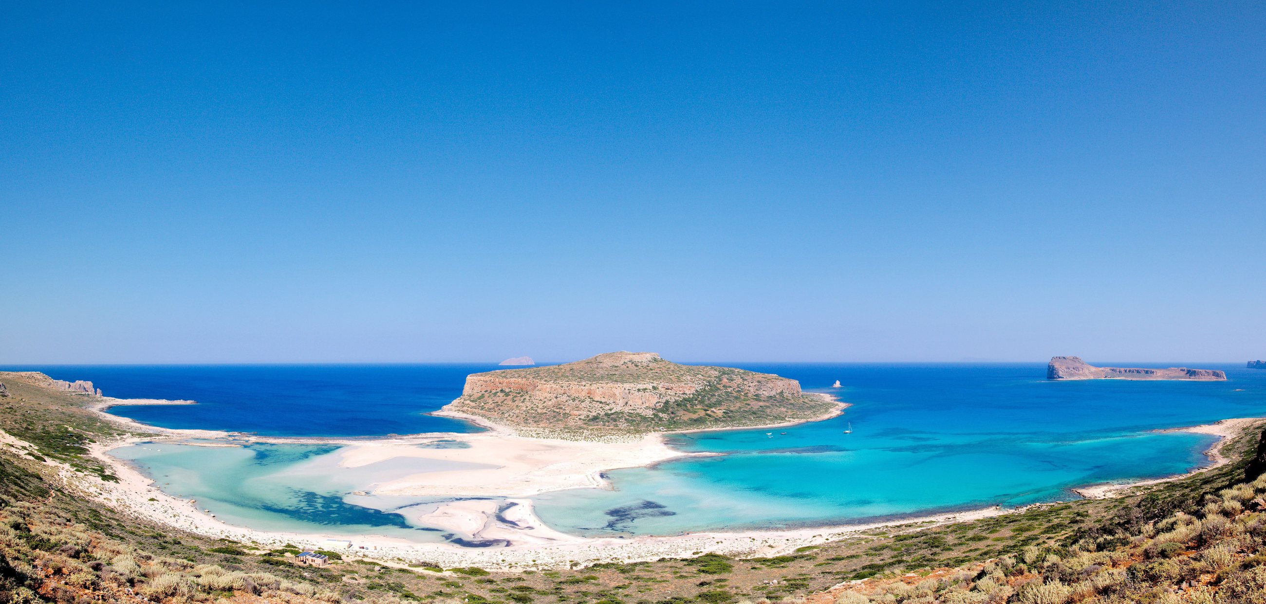
Balos
At the island's north-west corner, a full day out from the house like Elafonisi: white sand and shallow turquoise water closed in by the Gramvousa peninsula. Two ways in: the boat from Kissamos port, which also stops at the islet of Imeri Gramvousa and its Venetian fortress on the hill, or by car on about 8 km of rough dirt road from Kaliviani, then 20 to 30 minutes on foot down to the water and a steeper climb back.
Stop on the path down: the view over the lagoon to Cape Tigani is the best of the day. Also a Natura 2000 reserve; in summer go early, before the boats arrive.
Drive · walk
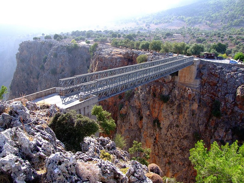
Aradena bridge and gorge
Above Chora Sfakion, the road climbs to Anopoli and crosses the Aradena gorge on a steel bridge high over the drop, with bungee jumps from it in summer. Below it, a 7 km gorge walk of about three hours ends at Marmara beach, reached otherwise only by boat; walk on to Loutro and take the boat back.
Plan your arrival
Tell us your dates and which airport you’re flying into, and we’ll help with the rest.